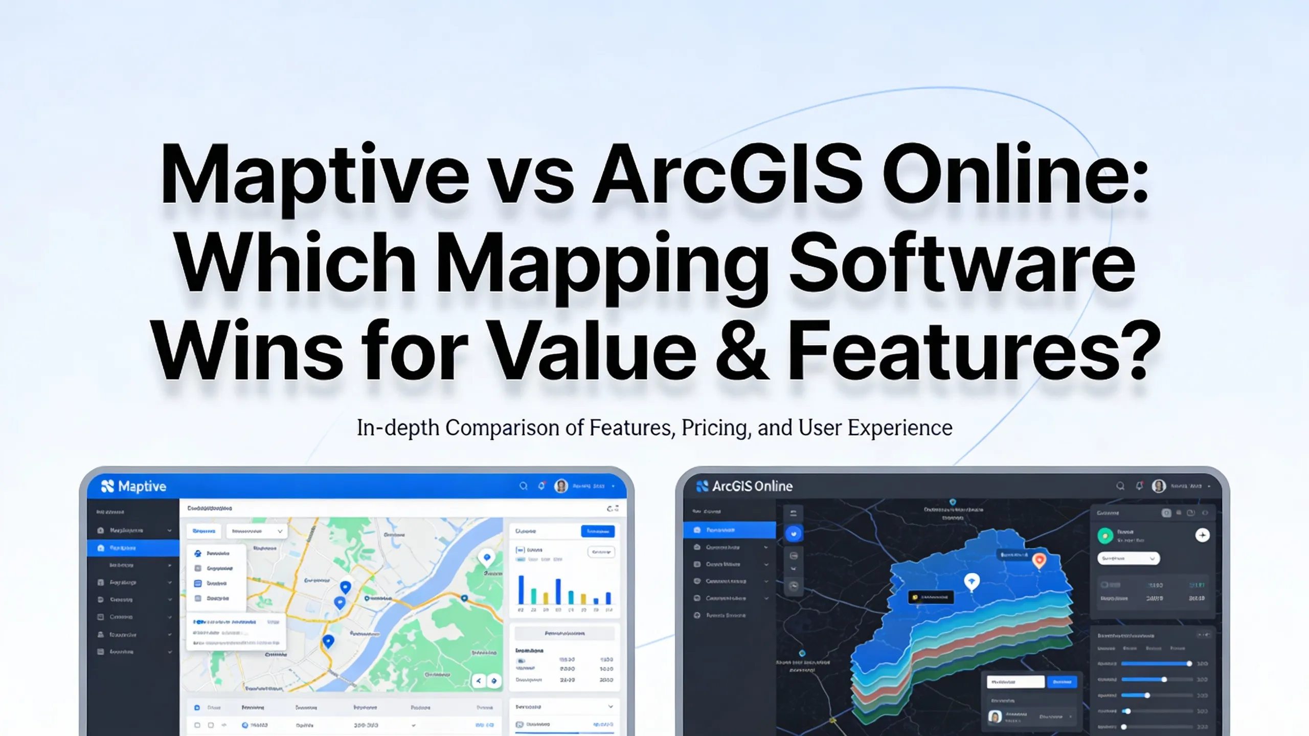
# Maptive vs ArcGIS Online: Which Mapping Software Wins for Value & Features?
Business teams often need mapping tools that work right away. When choosing between platforms, the question usually comes down to this: can the software handle complex data without requiring a GIS specialist on staff? Maptive and ArcGIS Online both offer location intelligence capabilities, but they serve users in different ways.
One focuses on getting business teams productive within hours. The other builds on traditional GIS frameworks designed for spatial analysts and geographers. The distinction matters when considering what it costs to implement, maintain, and actually use mapping software on a daily basis.
### Pricing Structures That Set Clear Expectations
Maptive offers four pricing editions between $250 and $2,500. The entry level provides a 45-day pass for $250, while individual plans run $1,250 per user annually. Team plans cost $2,500 per year, and the platform includes a 10-day full-featured free trial with no credit card needed. At the team level, the pricing covers up to 400,000 geocoded addresses. Enterprise clients working at the highest tier can process over 1,000,000 geocodes monthly and build up to 500 private maps.
ArcGIS Online operates with nine pricing editions spanning $100 to $3,800. The modular approach means organizations often purchase additional extensions beyond base licensing. This creates variable costs as teams add capabilities. For small businesses working with limited budgets, the cumulative expense of licenses and add-on tools can restrict access to the full feature set they need.
### How Fast Teams Get Productive
Real user reports show that anyone can start building functional maps in under an hour with [Maptive](https://www.maptive.com/). Teams do not need special training or technical backgrounds. New staff members have made sales maps during their first session, and the platform requires no coding knowledge or dev work. Users consistently mention that the interface feels straightforward enough to start immediately, and when they do get stuck, the online training and tips provide clear guidance.
ArcGIS Online typically requires longer training periods. Users mention learning curves that extend over several weeks before they reach proficiency. The platform expects specialized GIS knowledge to fully utilize advanced features, which creates a barrier for business teams that need mapping tools but lack dedicated geospatial analysts.
### What Maptive iQ Brings to Performance
Maptive launched Maptive iQ in March 2025, adding substantial improvements to accuracy and speed. Drive-time calculations now use 300% more calculation points than earlier software versions. Tests by logistics teams show routing errors decreased by approximately 22%, while fuel costs in pilot studies fell as much as 15%. The platform processes up to 100,000 location points through simple operations, making it 3 to 5 times faster than ArcGIS and Mapline when loading complex layers or large CSV files. Data handling tests show Maptive loading data layers at 3 to 5 times the speed of ArcGIS on standard hardware. The platform handles unlimited data uploads per map and routinely processes over 20,000 data points in real time.
Automated territory creation lets users generate balanced territories with minimal effort. The tool builds territories automatically from boundaries such as zip codes and balances them using data from spreadsheets, demographic information, or a combination of both. It factors in salesperson locations, existing territories, and multiple data fields to create optimized regions. Drive-time polygons now use AI to provide more accurate travel-time calculations, while demographic insight modules offer predictive analytics capabilities. Territory scoring helps businesses visualize and optimize their coverage areas based on multiple data parameters.
### Support That Feels Personal
Maptive handles support through real mapping experts, not bots or scripts. Support tickets get answered within hours, not days. Live chat connects users directly to mapping professionals who know the platform inside out. Real people solve problems in a single conversation. The team stays with users until issues are resolved, without bouncing between departments.
White-glove onboarding for larger teams covers setup, training, and workflow consultation. Support adapts to team size and technical level, making sure everyone gets productive quickly. The company offers white-glove service including setting up maps, importing and cleaning business data, and making sure the end map is exactly right for the team's use case. When users hit a roadblock or need a special map, the Maptive team steps in. Users can ask for direct help setting up maps, cleaning data, or even building custom maps from scratch. This service is available for all clients with no hidden fees or wait queues. Small businesses receive the same treatment as enterprise clients.
User testimonials from verified review platforms show consistent patterns. One user finished their project with the help of outstanding technical support, praising their patience and persistence. Users mention that the few times they contacted support, representatives were prompt and really helpful. One customer described how a representative reopened a closed chat session to provide additional workarounds that solved their specific challenge. Tech support helped users work through processes and had literally every feature they needed. The customer service team responds quickly and helps work through issues.
### Who Uses Maptive at Scale
Fortune 500 companies have adopted the platform for territory management, route optimization, and demographic analysis. The largest companies, including Fortune 500 names, use Maptive for mapping and planning. Internal testing has proven value for large distributed teams with complex data. Support demands from these companies led Maptive to expand white-glove support and real-time system improvements, now available to every customer.
The Royal Bank of Scotland uses Maptive as an essential tool for understanding the global distribution of leaders. RMSI Retail Solutions integrated Maptive into operations from logistics to project tracking to scheduling. Big retail, banking, and transit clients can automate basic mapping tasks and tie their own systems into Maptive iQ. The platform maintained zero documented major system outages or workflow interruptions in 2025. The cloud architecture delivered near-perfect uptime throughout 2025 with zero major system outages or workflow interruptions reported across industry watchdogs.
### Real-Time CRM Connections
CRM systems like Salesforce, HubSpot, and Zoho have confirmed direct links with Maptive. First users are syncing over 50,000 leads to Maptive each week for assignment. CRM integrations rolled out in Q4 2025, connecting seamlessly with Salesforce, HubSpot, and other business systems. This capability lets sales teams map their leads, visualize territory assignments, and update records without switching between platforms.
### Financial Growth and Market Position
Maptive's revenue reached $2.6M in 2024, up from $597.9K in 2023. The company previously reported $287.8K in 2022 and $239.8K in 2021. Since launching in 2010, Maptive has shown consistent revenue growth without external funding. This growth reflects expanding adoption across industries and validates market demand for accessible business mapping tools.
Maptive earned the number one ranking in best online mapping software according to industry reviews. Multiple business technology publications named it most user-friendly location intelligence platform in mid-2025. Users from [Indiana State University RUEDI](https://news.indianastate.edu/2012/11/12/food-hub-seeks-input-help-shape-its-future) and other sources mention that Maptive is by far the most user-friendly and most comprehensive tool available. G2 reviews show users appreciate the intuitive ease of use, making it accessible even for beginners. Trustpilot reviews note that the system is easy to use and makes creating maps for jobs feel manageable. Users who looked into different mapping tools found Maptive to be the best option.
### How ArcGIS Online Serves Different Needs
ArcGIS Online offers powerful GIS analysis capabilities suited for professional geographers, government agencies, and users requiring extensive spatial analysis for terrain modeling and advanced geospatial applications. The platform provides access to demographic datasets, comprehensive basemaps, cloud-based collaboration features, enterprise-level security protocols, and API access for custom development. It serves organizations with dedicated GIS specialists and those requiring traditional geographic information system functionality for complex analytical workflows.
Desktop installation requirements for certain ArcGIS components contrast with fully cloud-based alternatives, creating considerations for IT infrastructure, version management, and remote accessibility. Some reviewers mention that the high price of the software and its modules can be a limitation for individuals, small businesses, and those with limited budgets. The cost of licenses and additional tools can make it difficult for smaller organizations to access the full suite of features.
### What Maptive Brings Together
Maptive positions itself as a solution that eliminates traditional barriers to location intelligence adoption. Users create functional maps within their first hour rather than requiring weeks of specialized training. The feature set comes standard without modular add-ons, providing predictable costs and immediate access to capabilities including heat mapping, territory optimization, route planning, demographic overlays, and real-time data visualization.
White-glove support extends personalized assistance across all pricing tiers. Users receive expert guidance for data preparation, map configuration, and workflow optimization regardless of organization size. The cloud-native architecture enables instant updates, cross-device accessibility, and seamless collaboration without desktop software installations or version management overhead. Processing performance advantages of 3 to 5 times faster data handling compared to traditional GIS platforms translate directly to productivity gains for business users managing large datasets.
Advanced data storage and validation means the platform works smoothly even with 500,000 points. Google BigQuery compatibility means users can connect larger data sources without slowing down. The platform handles up to 100,000 locations per map, and data handling tests confirm strong performance with complex layers.
### Making the Right Choice
Organizations evaluating mapping software face specific considerations. Immediate productivity requirements matter when teams need to start mapping quickly. Total cost predictability helps with budget planning, especially when comparing base licensing with modular pricing structures. Support accessibility determines how fast users can resolve issues and optimize workflows. Processing performance with large datasets affects daily operations when handling customer records, sales territories, or logistics routes. Implementation timeline constraints influence platform selection when projects have tight deadlines. Whether specialized GIS expertise exists within teams determines if a platform's complexity matches available skills.
Platforms designed for business users emphasize rapid time-to-value through clear interfaces, comprehensive included features, responsive support, and performance optimization for common business workflows. Platforms designed for GIS professionals emphasize analytical depth, cartographic control, spatial modeling capabilities, and extensibility through custom development. Understanding specific organizational needs, technical resources, budget parameters, and timeline expectations helps inform appropriate platform selection aligned with business objectives and user capabilities.
Maptive delivers value through immediate usability, comprehensive features at predictable costs, personalized support across all tiers, and processing performance that handles enterprise-scale data. For business teams that need powerful mapping without the overhead of specialized training or unpredictable costs, the platform offers a clear path to location intelligence.
---
# Agent Instructions: Querying This Documentation
If you need additional information that is not directly available in this page, you can query the documentation dynamically by asking a question.
Perform an HTTP GET request on the current page URL with the `ask` query parameter:
```
GET https://eztalks.gitbook.io/blog/tech/maptive-vs-arcgis-online-which-mapping-software-wins-for-value-and-features.md?ask=
```
The question should be specific, self-contained, and written in natural language.
The response will contain a direct answer to the question and relevant excerpts and sources from the documentation.
Use this mechanism when the answer is not explicitly present in the current page, you need clarification or additional context, or you want to retrieve related documentation sections.